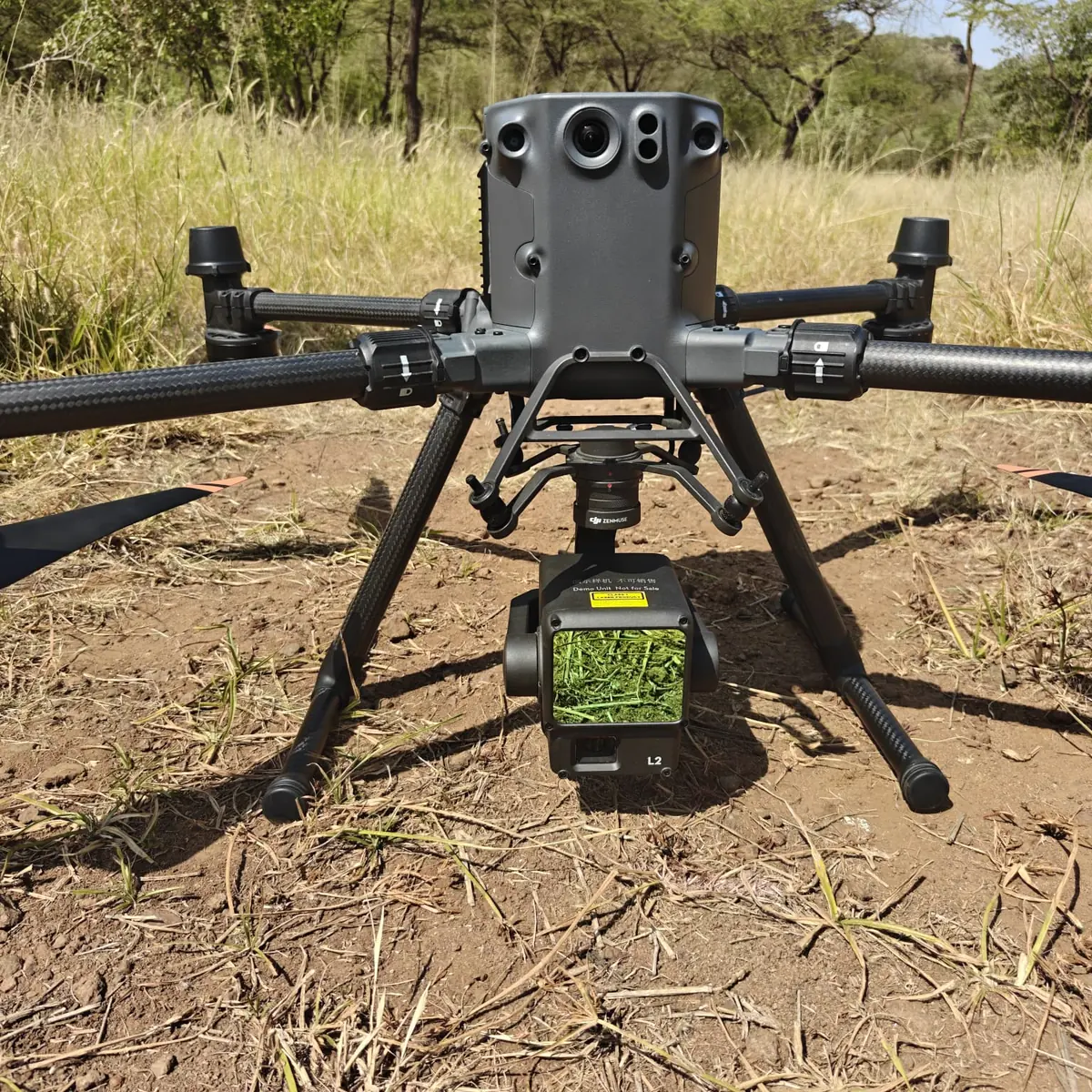
Drone LiDAR Survey Services in Tanzania
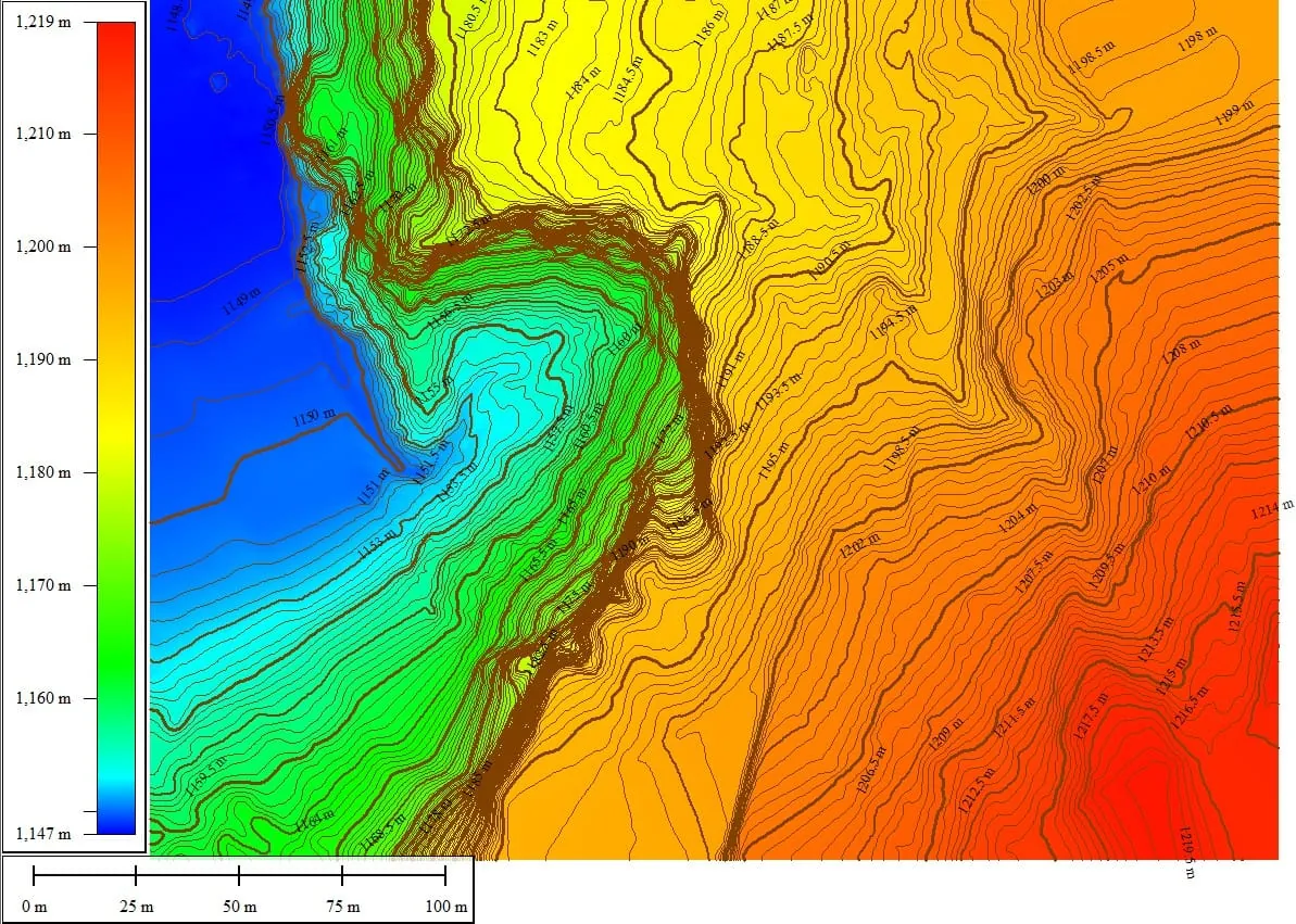
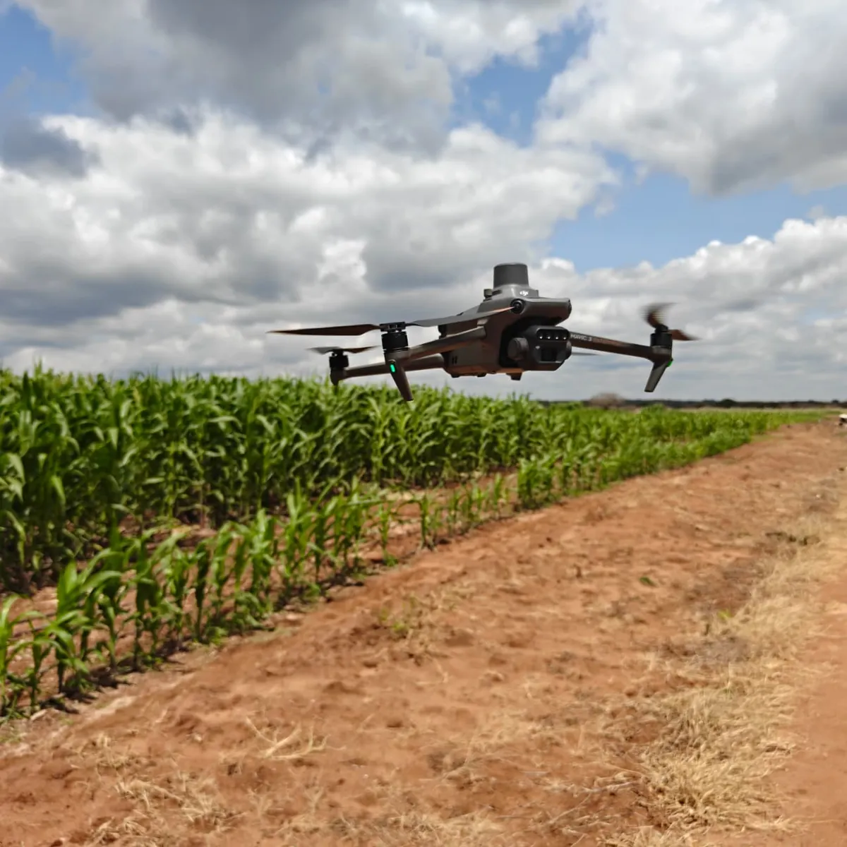
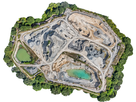
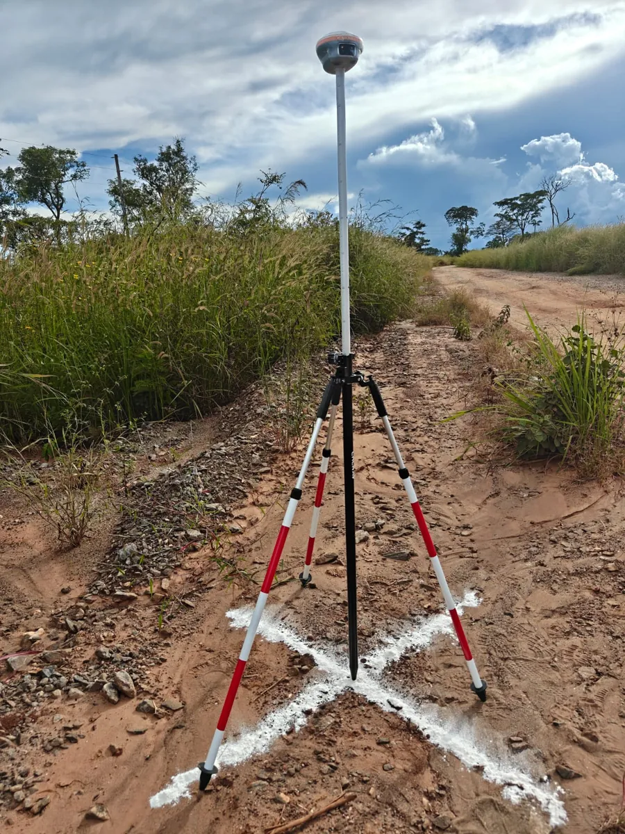
SkyGrid Africa provides professional Drone LiDAR survey and mapping services across Tanzania and Africa, delivering high-accuracy elevation data, and detailed terrain models for large, complex, and difficult-to-access sites supporting topographic mapping and engineering design projects.
Drone LiDAR Survey Services →